Tulum Weather
 México

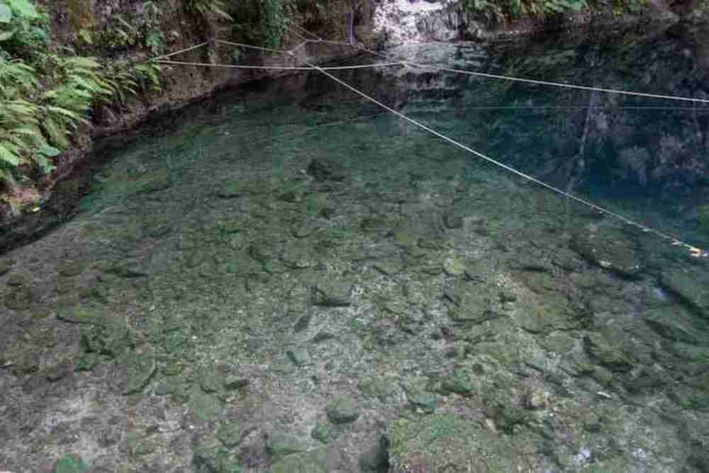
Die Cenote Xlacah bewahrt noch immer die Schönheit ihres durchsichtigen Wassers und ihren Reichtum an Flora und Fauna. Die in der Cenote gefundenen Überreste - darunter Gefäße, geschnitzte Knochen und Holzgegenstände - bieten wertvolle Informationen über die alten Mayas, die in der Nähe der Cenote lebten.
Dieser natürliche Teich ist im Norden etwa 100 m lang -Südachse, für 200 m auf der Ost-West-Achse. In seinem tiefsten Teil nimmt es eine geneigte Form an und erreicht im Nordosten 44 m, zu der sich eine breite horizontale und dunkle Galerie öffnet, deren Ende unbekannt ist.
Die alten Mayas schützten das Ufer mit Stützmauern vor die Cenote und baute eine mittlere Plattform ganz in der Nähe. Am östlichen Ende, dem flachsten, fehlte eine weitere kleine Plattform, die den Grundwasserleiter erreichte und der Bevölkerung den einfachen Zugang zu Wasser ermöglichte. Unter der Erde von Dzibilchaltún beträgt der Wasserstand 3 m, weshalb die Bewohner Brunnen graben und flache natürliche Hohlräume erweitern konnten, um das Untergrundwasser zu erreichen.
Schwimmen, ---


Öffnen Sie Fotos von Google-Bildern (Sie sind nicht genau)